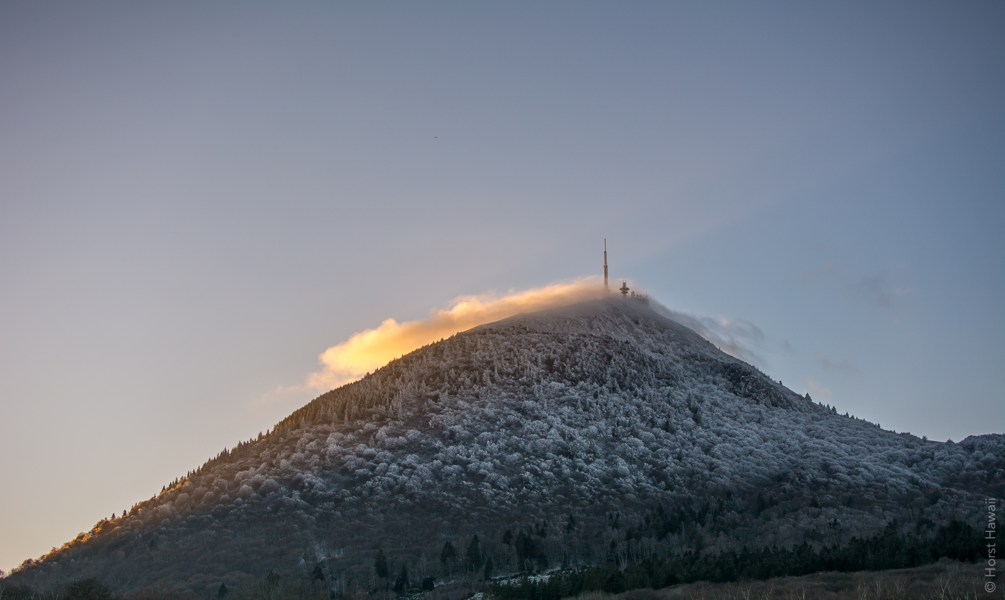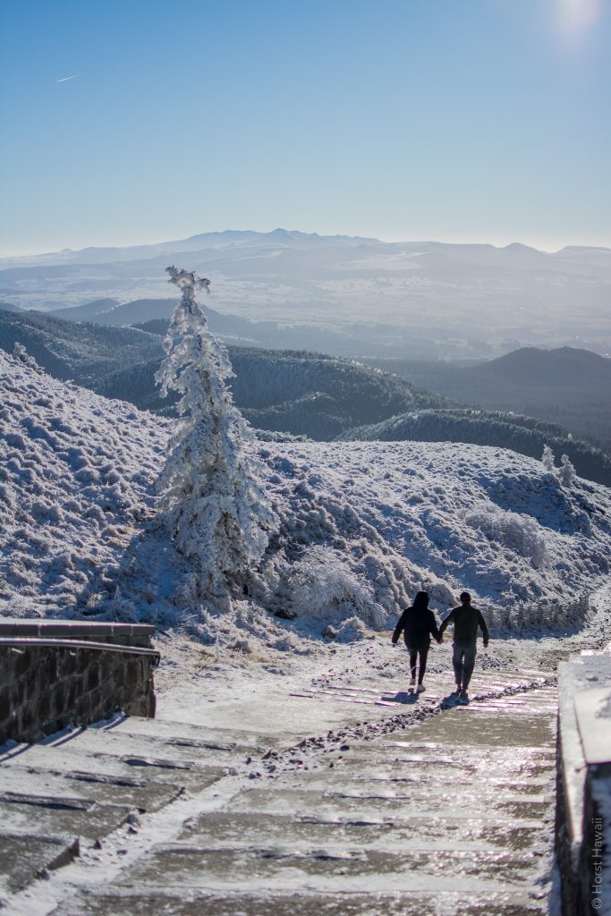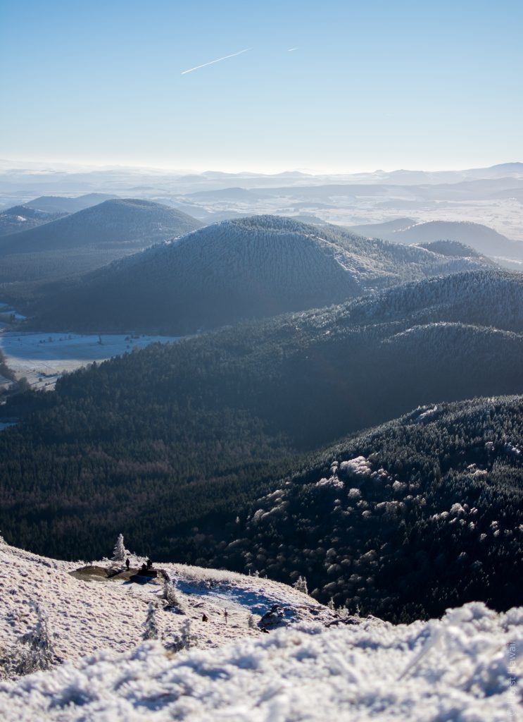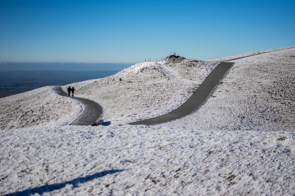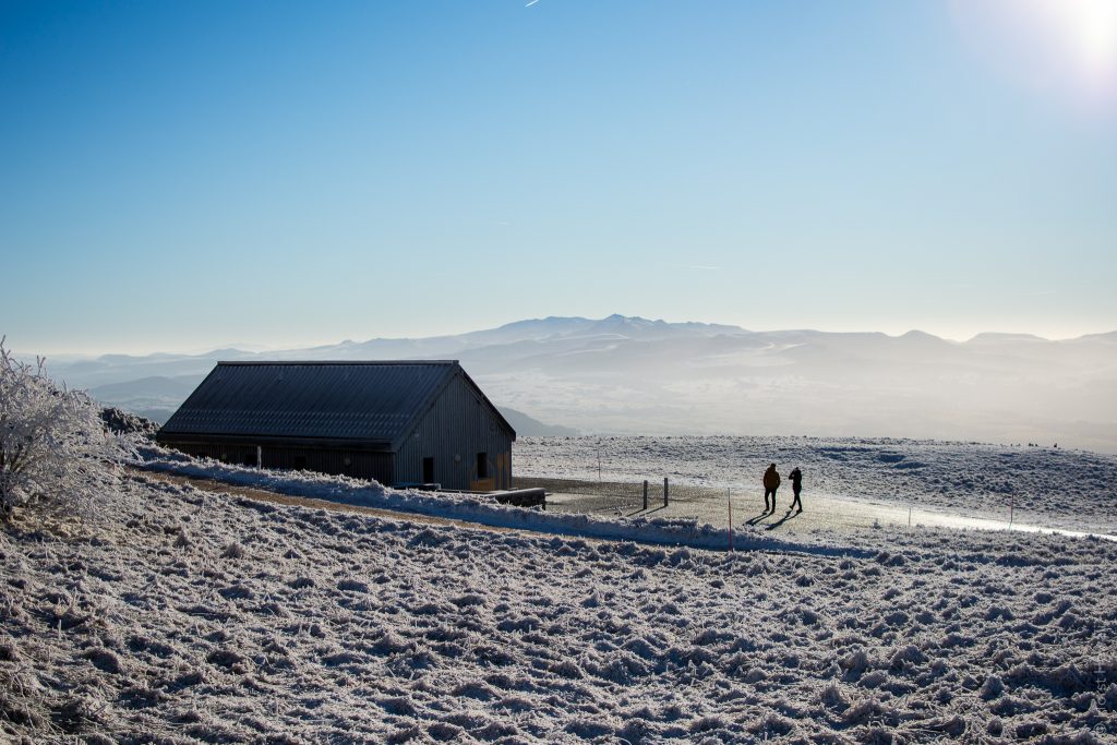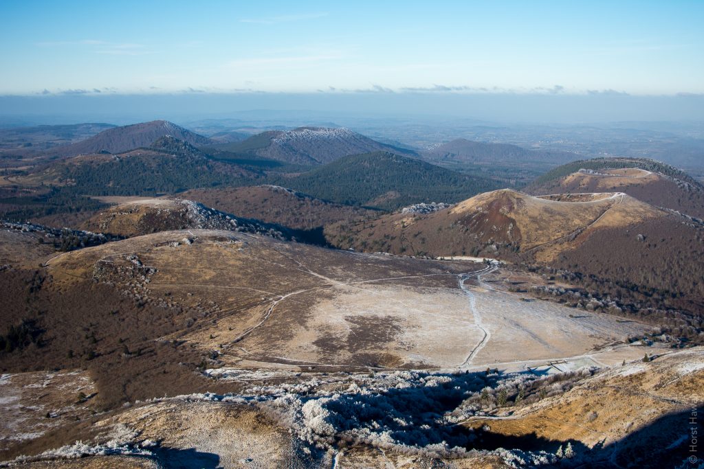
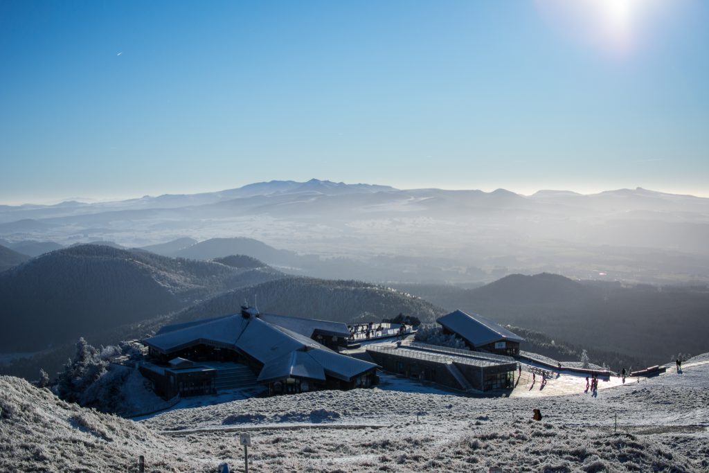
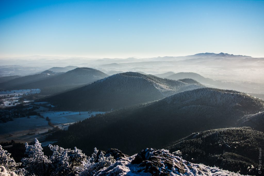
The Puy de Dôme in the Central Massif offers an unparalleled panorama on the Chaîne des Puys. It is in the heart of the Regional Natural Park of Auvergne Volcanoes, located about 15 km from Clermont-Ferrand and gave its name to the department of Puy-de-Dôme. It is accessible on summer and winter aboard an electri train “Panoramique des Domes“.
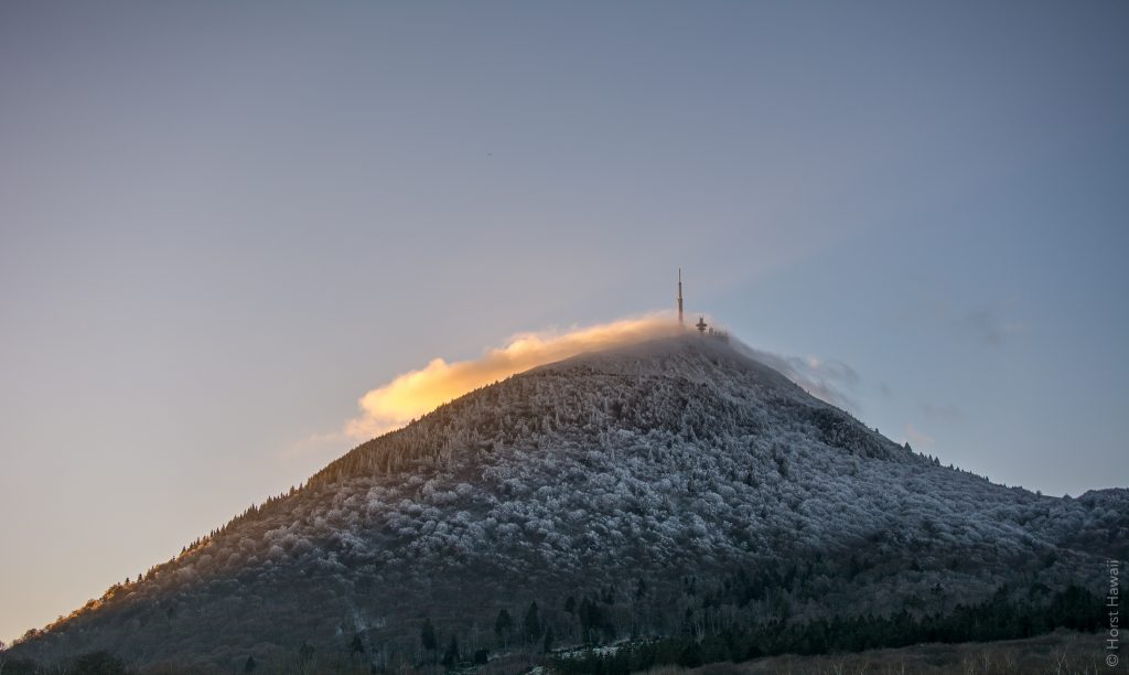
The Puy de Dôme is an old lava dome, 550 m high and 2 km wide at the base. Its summit is 1465 m high. It was created by a Peléan eruption, some 11000 years ago.
The Chaîne des Puys (a group of 80 volcanoes) became a classified site in 2000. The Puy de Dôme is part of the network of major sites in France and received, in early 2008, the label “Grand site de France“. Since 2018, the “Chaîne des Puys – Limagne fault tectonic arena” is listed by Unesco to the World Heritage as a Natural site. The perfect alignment of this volcanic ensemble is witness to a colossal phenomenon that shapes the face of the Earth: the rupture of the continents. The Chaîne des Puys – Faille de Limagne joins the prestigious list of sites inscribed on the UNESCO World Heritage List as the first French natural property listed in France and one of the few tectonic properties in the world, and therefore joins sites like the Grand Canyon, the Okavango Delta, Kilimanjaro or the Great Barrier Reef.
View from the South Side
View on the North Face
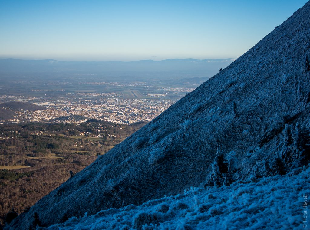
Clermont Ferrand on the East
Restaurant
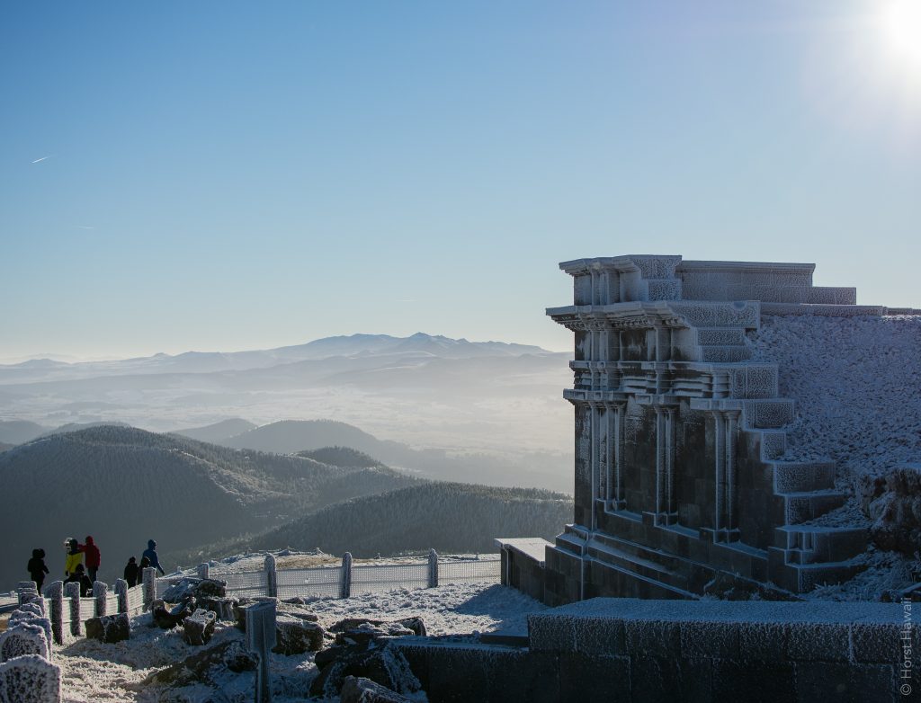
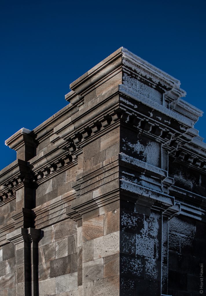
Mercure Temple
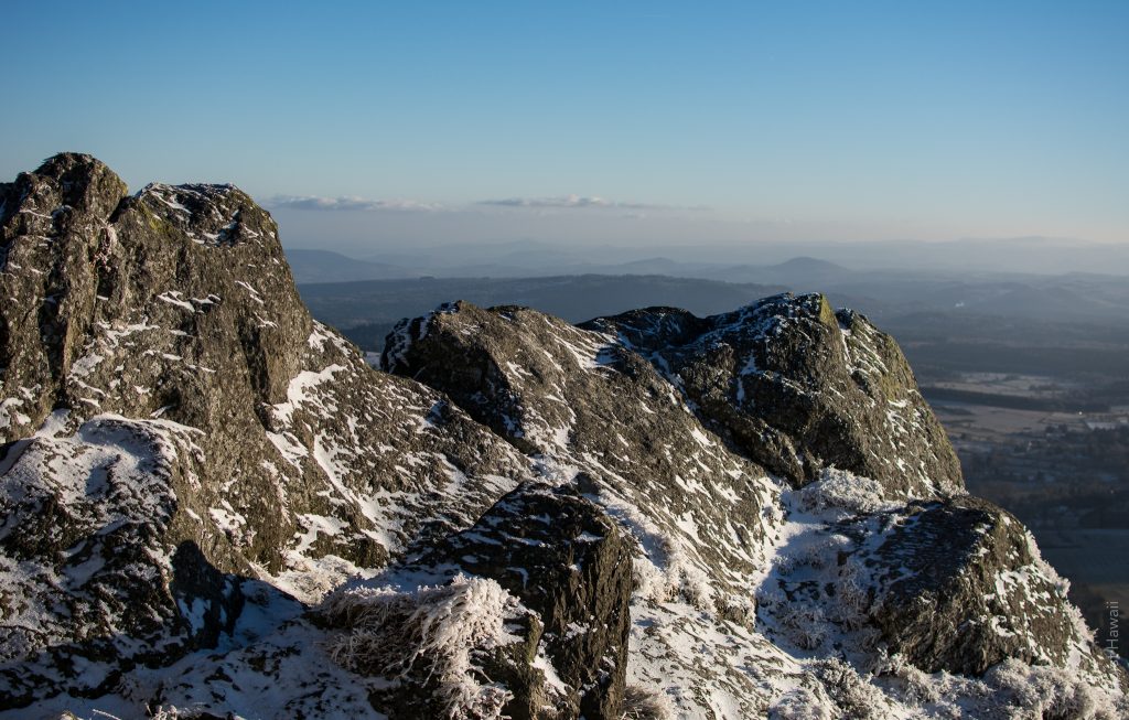
The Gallo-Romans installed, in the first or second century, at its summit a temple dedicated to Mercury. It was abandoned in the third or fourth century and was rediscovered in 1872 during the construction of an atmospheric observatory. Today it is in reconstitution.
UNESCO registration for a unique Rift in the World
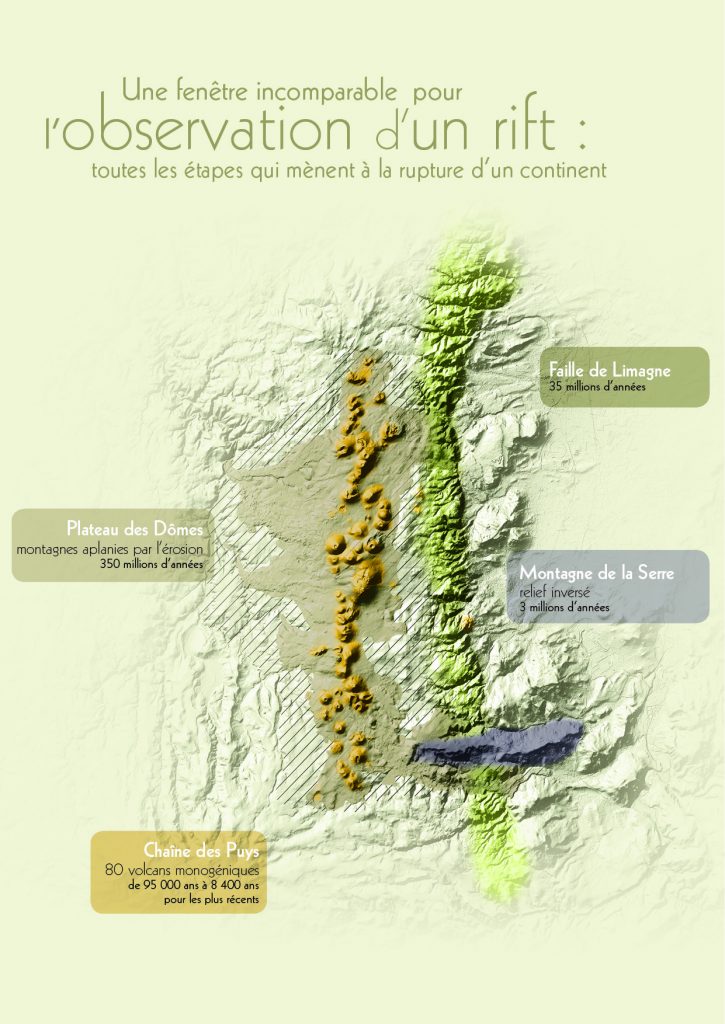
The Tectonic Arena Chaîne des Puys – Limagne fault is the witness of a rift, rupture of a continent in all its forms. For over 350 million years, this phenomenon, which precedes the opening of the ocean has shaped the entire landscape. The geological formations of this site can observe how the earth’s crust fractured, collapsed, left puddles up and massively elevated the surface. The site gives to see the different stages of rift processes:
The Plateau des Domes (350 MA) leveled mountains by erosion. It is the ancient continental shelf, which was affected by the break.
The Faille de Limagne (35 AD), 30 km long and 700 m high marks the break between the old continent (Plateau des Domes) and his party collapsed (Limagne plain). It is strictly parallel to the Puys range.
The Montagne de la Serre 3 MA, long lava flow over 9
The Chaîne des Puys (95 000 to 8400 years), younger volcanic ensemble, brings together 80 puys, 32 km aligned, parallel to the Faille de Limagne. It brings together all the elementary figures of volcanoes domes, maar, cones
